“The mountains are calling and I must go.” - John Muir
Up in the area, that by locals is referred to as the Kingdom, in the deep North, three trails begin that lead up to the third highest peak in Vermont, Bald Mountain. The oldest and most seldom used trail is the Telegraph Trail, it was the first route that was created to access the lookout fire tower at the summit, it was installed around 1938. The two most travelled routes these days however, are Mad Brook Trail, that begins off of Mad Brook Road, in East Charlestown, and the route I travel by, Long Pond Trail, off of Long Pond Road, in Westmore.
I’ll start directions from the landmark carved out by glaciers long ago, the crystal clear, Lake Willoughby, the deepest lake contained entirely in the state of Vermont. Trout, landlocked salmon, loons and the *cough* “elusive” gull are all creatures that call it home as well as the frequent summer travelers. GPS renders most directions irrelevant these days but here’s the rundown:
-With the north end of Willoughby and the public beach on your right, bear right onto Route 5A.
-You know the age old saying, and Vermonter directional lingo, “down the road a ways?” well, go “down the road a ways” and you’ll hit Willoughby Lake Store on your left where you will resist the ice cream until after your hike, and you’ll take Long Pond Road.
-Follow this road until just past the boating/fishing access for Long Pond and the parking area for the mountain will be on the left.
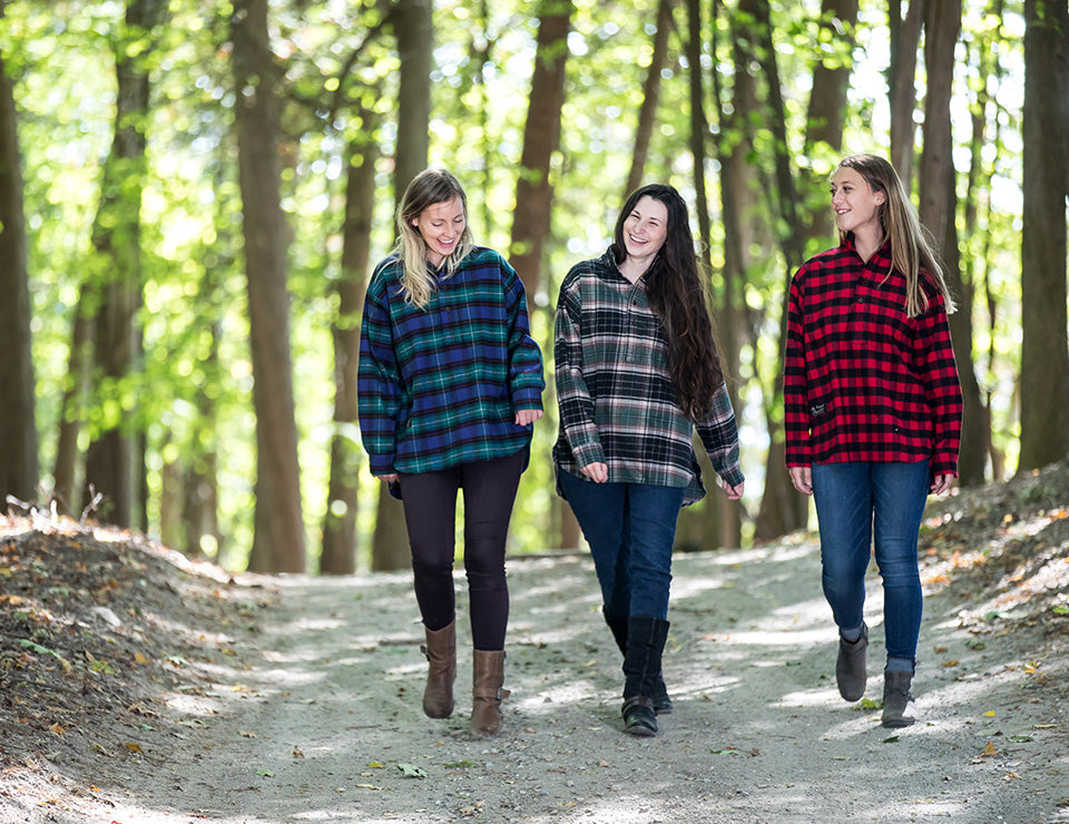
Now comes the fun, grab your water bottle, keys (that I hope are on a Flanyard), your Flanny Pack, to keep your shoulders free of burdens, and any snacks you want for the trail (I usually go for apples and a candybar). Proceed through the gate and begin the steady climb up the logging road where you’ll stay right at the junction. Monarchs, Admirals, and Painted Ladies are some of the butterflies that will flit around your head on your sweat walk as they look for the brown-eyed susans that line parts of the road. “Shortly,” you’ll reach an open area or dirt meadow. The trail head is in the far right corner. Shortly up it will be a well-worn path, that for the rest of the way will be marked by blue blazes.
I love this trail because it is steady and it makes you work for it, but opens your eyes to what perhaps you have forgotten, the beauty of the woods: the hush of the streams, the creep of moss and lichens across the floor, the exposed root systems of trees calling to your feet to slow it down, the breath of comfort.
You will climb until you begin to see spruce and firs, until you start to think that you’re starting to get tired, and you know, maybe this will be your home now, and you’re just going to lie down and hibernate through the winter. Perhaps here, as you gulp water, someone, or you, will inevitably say, “just a little further,” and you’ll muscle up, huff some more and I’m telling you, you’ll be there! All the trails have now converged to an open area, or bald patch, pocked with a lovely cabin, a few ashy fire pits, a patch of chives if they are still there, and a very large fire tower.
The fire tower is the apex, and it is another of the many reasons why this hike is so great, because it has the biggest reward, a 360° cloud’s eye view. Up at the top, out of the door in the floor of the fire tower, and between the trellis of windows that creak, the land and lakes are sprawled out before you: Willoughby Lake, Seymour Lake, Memphremagog, Long Pond, the Green Mountains and the White Mountains off in the distance stand majestically. It is utterly one of the best sights I have ever seen, it’s comforting, and inspiring, the sprawl of barely interrupted land, that the clouds leave shapely shadows over. Just remember your Vermont Flannel™, it’s windy up there!